


Weather Underground is a hyper-local weather forecasting app that provides precise current conditions and updates from over 250,000 personal weather stations. With its proprietary forecast model and Nexrad radar technology, the app delivers detailed local weather data including Doppler radar imagery, temperature updates, wind speed, humidity, and more. Users can track severe weather alerts with the hurricane tracker and storm radar, ensuring they are always prepared for extreme conditions in their microclimate.
The app offers an interactive experience with customizable features such as light & dark modes, various map types, and units. It also includes sophisticated weather visualizations with hi-res satellite imagery powered by NOAA. Whether you need hourly forecasts or want to explore detailed geographical data like air quality index and UV index, Weather Underground provides comprehensive tools to stay informed about your local weather.
Weather Underground stands out with its unique features designed for weather enthusiasts. The app's interactive weather maps utilize Nexrad radar technology, allowing users to visualize different weather overlays, including personal weather stations, NOAA satellite imagery, heat maps, and rain accumulation. These maps provide a sophisticated level of detail not found in typical weather apps.
Another key feature is the hyper-local forecasts driven by data from over 250,000 personal weather stations. This network ensures accurate local weather conditions, filling gaps between airport weather stations used by other services. Subscribers can access Smart Forecasts tailored to their ideal conditions for outdoor activities and view extended hourly forecasts up to 15 days ahead. With customizable alerts and detailed climate information at your fingertips, Weather Underground offers unparalleled precision in weather tracking.
Weather data accuracy is crucial for making informed daily decisions. Weather Underground ensures precise forecasting through a network of over 250,000 personal weather stations. These stations provide real-time updates specific to microclimates, ensuring users receive the most relevant information for their exact location.
The proprietary forecast model combines hyper-local data with advanced algorithms to deliver current conditions and future predictions. This approach fills the gaps left by traditional weather services that rely on airport weather stations. As a result, users can trust the app's detailed reports on temperature, wind speed, rain accumulation, and more.
For those living in areas prone to severe weather, having reliable data is essential. The Nexrad hurricane and storm tracker, along with Doppler radar technology, equips users with tools to prepare for extreme conditions. Whether it's tracking an incoming storm or planning outdoor activities, this app provides the credible weather information needed to stay safe and make the most of each day.
Understanding weather patterns over time and space is vital for effective planning. Weather Underground offers extensive temporal coverage with hourly and daily forecasts extending up to 10 days into the future. This allows users to anticipate changes in weather conditions and plan accordingly, whether it's scheduling outdoor events or preparing for seasonal shifts.
Spatially, the app excels by providing localized data from the nearest weather station. Users can access detailed maps showing various overlays such as temperature gradients, precipitation levels, and cloud cover. These visualizations are powered by high-resolution satellite imagery from GOES-16 and NOAA data, offering sophisticated insights into regional weather dynamics.
Additionally, premium subscribers benefit from extended forecasts reaching up to 15 days ahead. This feature is particularly useful for individuals who need long-term planning capabilities, like event organizers or farmers. With comprehensive spatial and temporal coverage, Weather Underground empowers users to navigate their environment confidently and efficiently.
Hyper-local forecasts
Detailed weather maps
Interactive radar
Customizable alerts
Precise data points
Premium subscription required
Ads in free version
Complex interface
Limited global coverage
High data usage
Nuts Weather, your ideal choice for knowing weather forecast & weather radar
 4.70
4.70
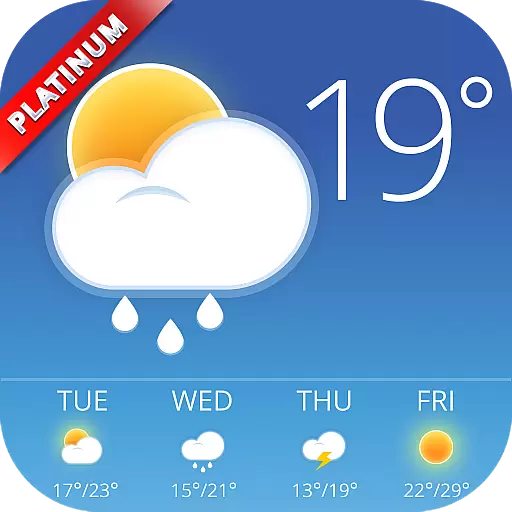
Accurate weather forecast and beautiful weather & clock widgets
4.20
Thermometer shows indoor and outdoor temperature
4.70
Local weather forecast, reliable daily weather report
4.30
Know the weather earlier.
3.90
Get accurate rainfall and snowfall totals for pinpoint locations on a map.
4.60
Global weather forecast, powered by layered radar & hourly weather updates
4.10
Accurate Weather App: various widgets, real-time storm radar, hurricane tracker.
4.50
Weather Forecast, Trending News, Hurricane & Storm Tracker, Alerts & Live Radar.
4.80
Weather for Indiana, Kentucky and Ohio
4.90
Live Weather Forecast app with acu weather radar, weather alert & weather widget
4.80
Ultimate Lunar Calendar for 2021!
4.80
Powerful US and worldwide earthquake feed with earthquake alerts and maps.
4.60
Industry leading whitetail movement predictor & hunting app.
4.60
Prepare for severe weather with notifications, future radar, and live alerts.
4.60
Get the ad-free version of the highly rated WeatherBug app for accurate weather!
4.50
The most accurate weather app, hourly and daily weather, severe weather alerts
4.50
Accurate Local Weather Forecast, let you easily understand the nearby weather!
4.20
Advanced weather toolkit, providing detailed weather information for any season!
3.50


User Reviews